

Look through our reservation system for vehicles and dates to receive an instant online quote.
Alternatively, you can send us your request for a customized car hire arrangement at any destination within the Island of Crete
including: Heraklion Airport, Chania Airport, Heraklion Port, Chania Port, Rethymno Port.
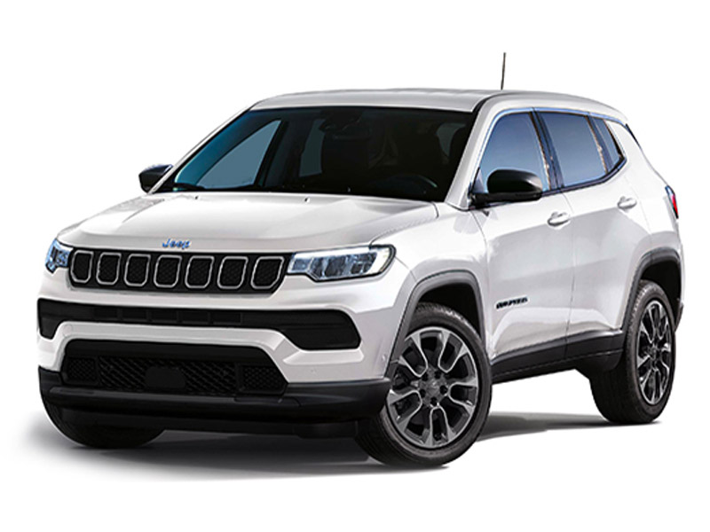
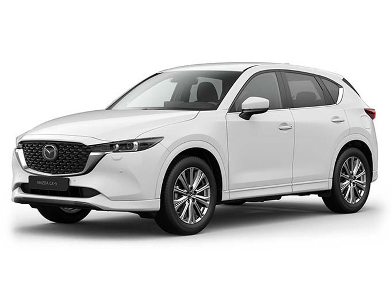
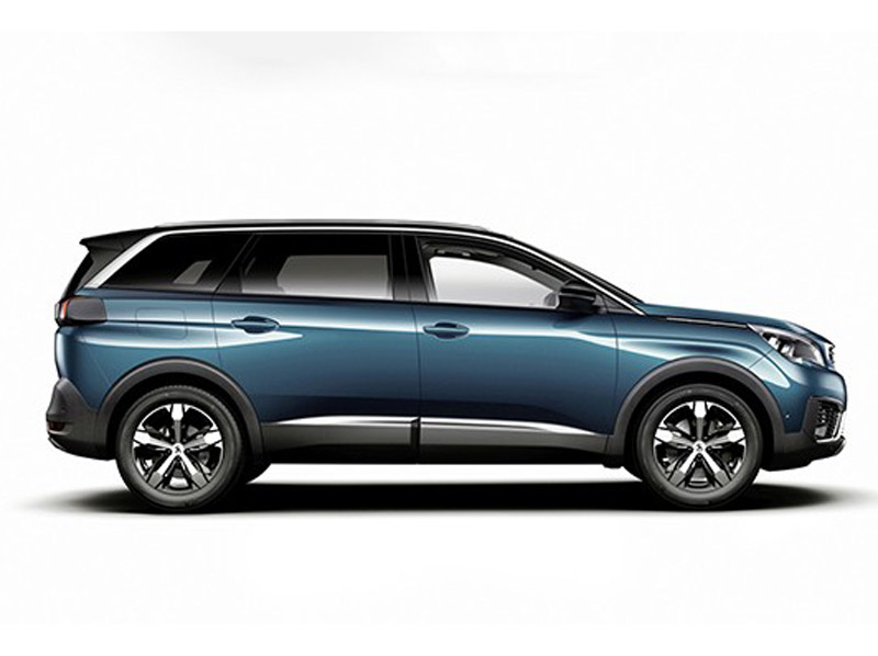
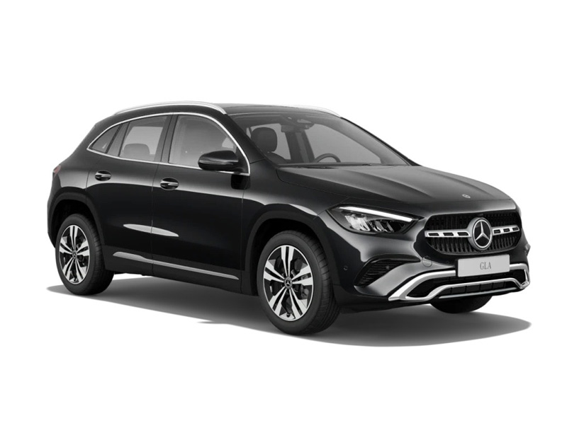
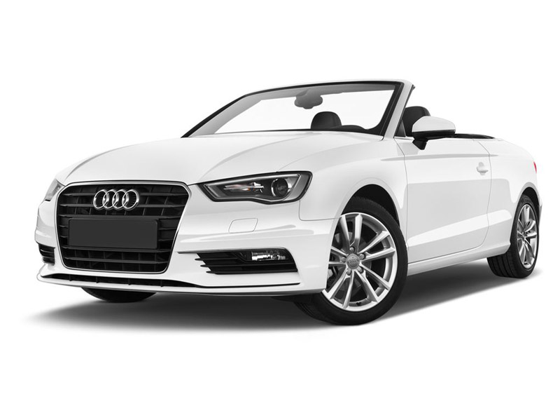
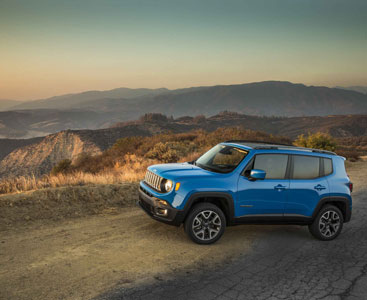
Premium SUV Automatic Cars
Safety and Comfort. Exclusive Cars for Superior Holidays

ALL INCLUSIVE RATES

PERSONAL SERVICE

QUALITY GUARANTEE
Book Your Car in Crete with Best Cars Rental
Browse our website, choose your dates and location, and instantly book your preferred car online – or request a customized quote at [email protected].
We provide free vehicle delivery and collection at Heraklion Airport, Heraklion Port, Rethymno Port, Chania Airport, and Chania Port (Souda Bay).
Why choose Best Cars Rental?
Full insurance with Zero Excess
No credit card required
Unlimited mileage & free additional drivers
Free 24/7 roadside assistance
All taxes included (24% VAT)
Theft, fire & personal accident protection
Discover Crete your way with Best Cars Rental – relax on the exotic sands of Elafonissi Beach, visit the historic island of Spinalonga, hike through the breathtaking Samaria Gorge, step back in time at the legendary Knossos Palace, and enjoy the charm of Rethymno and Chania with their Venetian harbors, narrow alleys, and vibrant atmosphere.
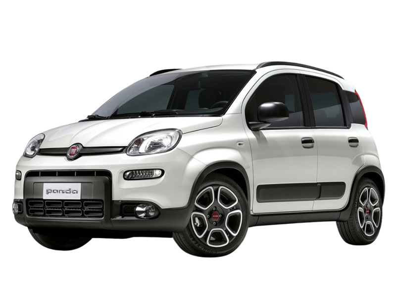
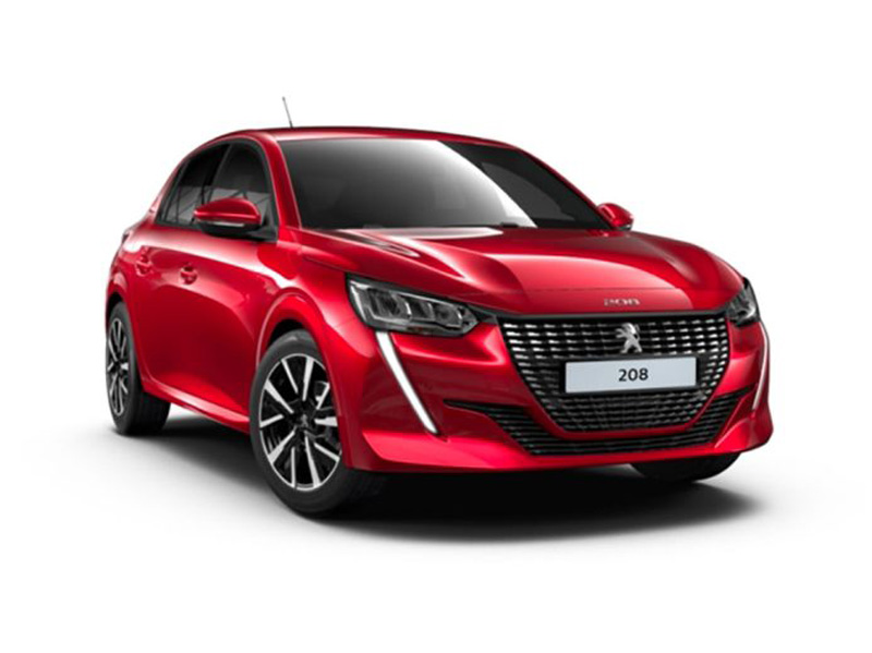
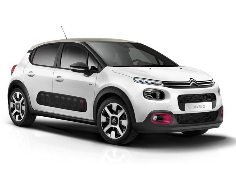
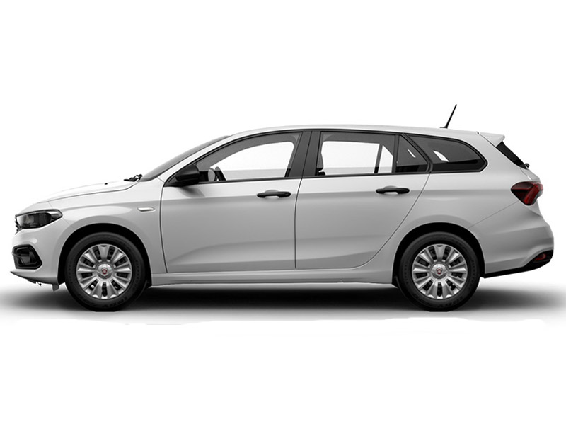
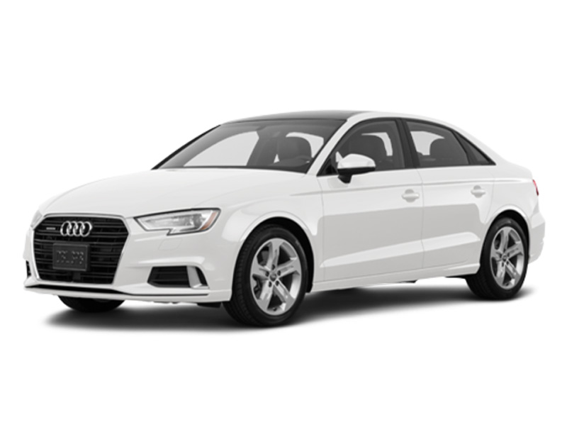
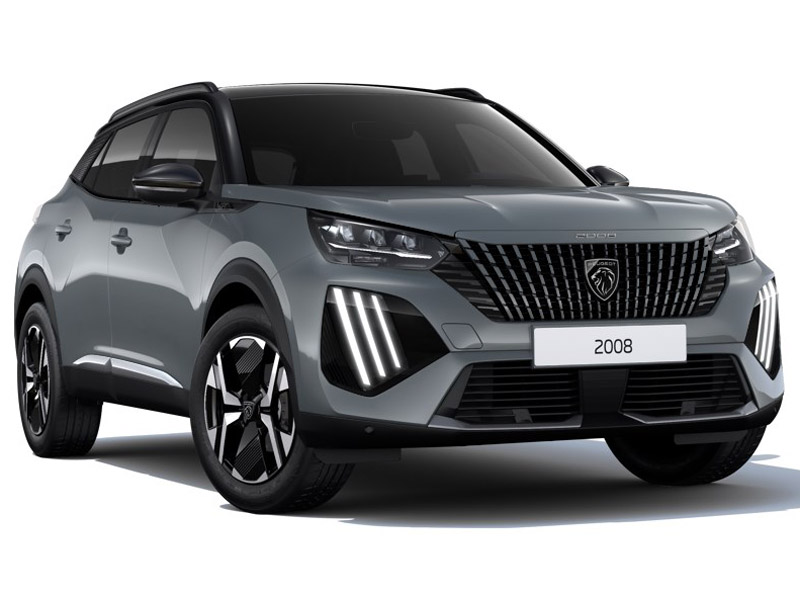
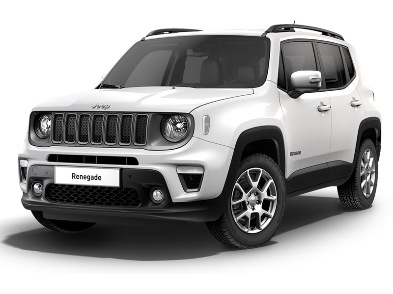
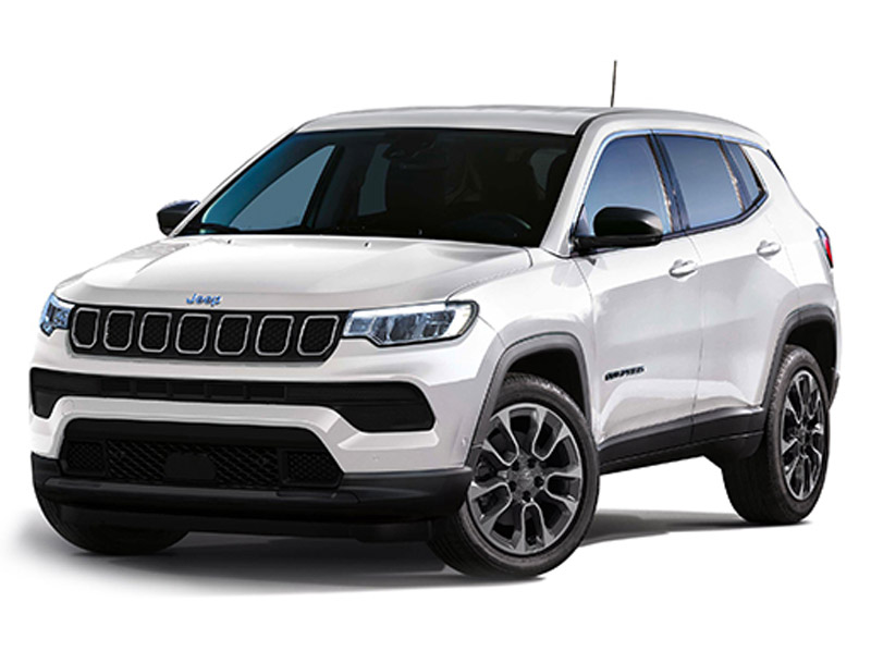
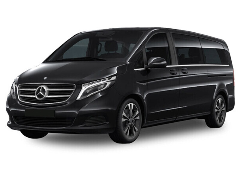
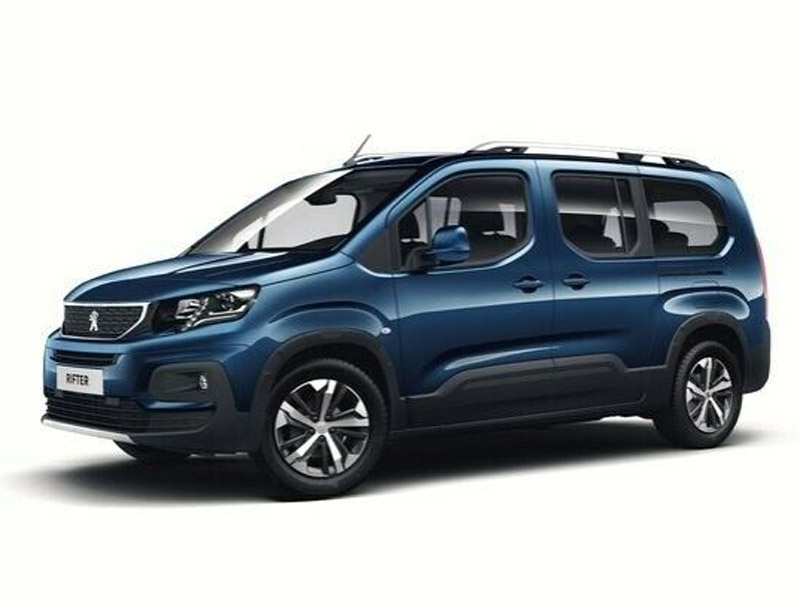
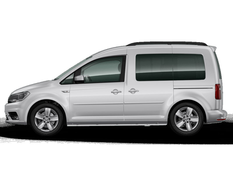
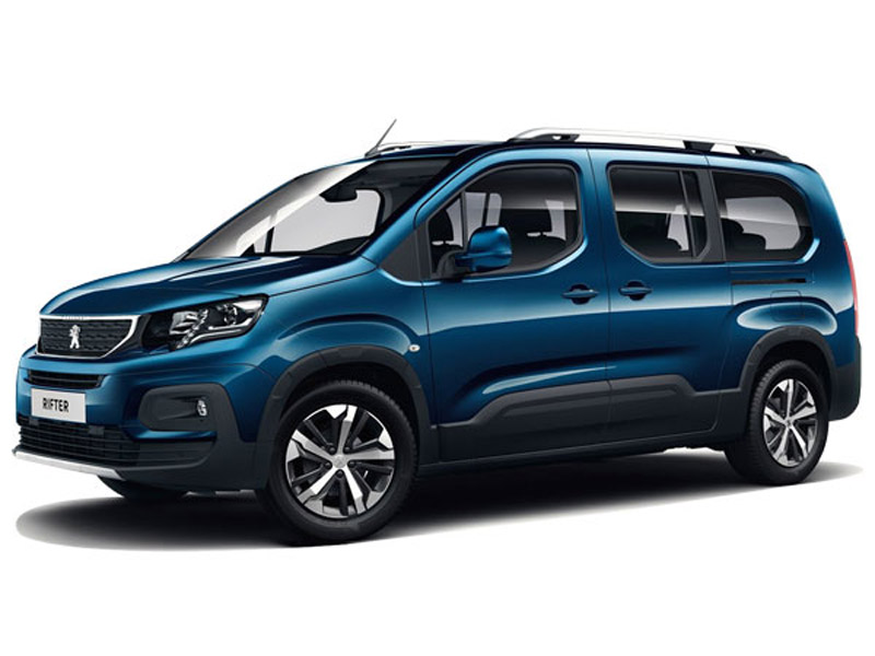
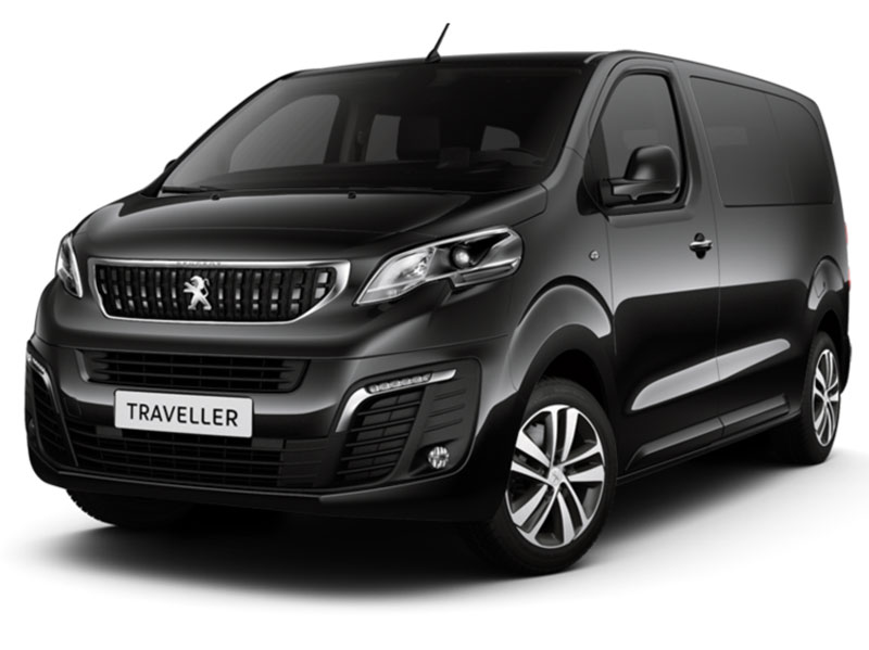
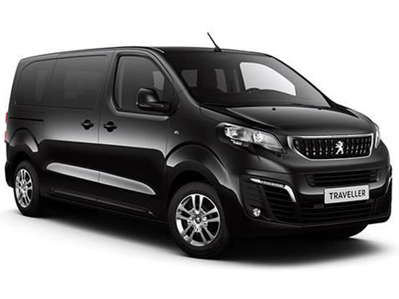
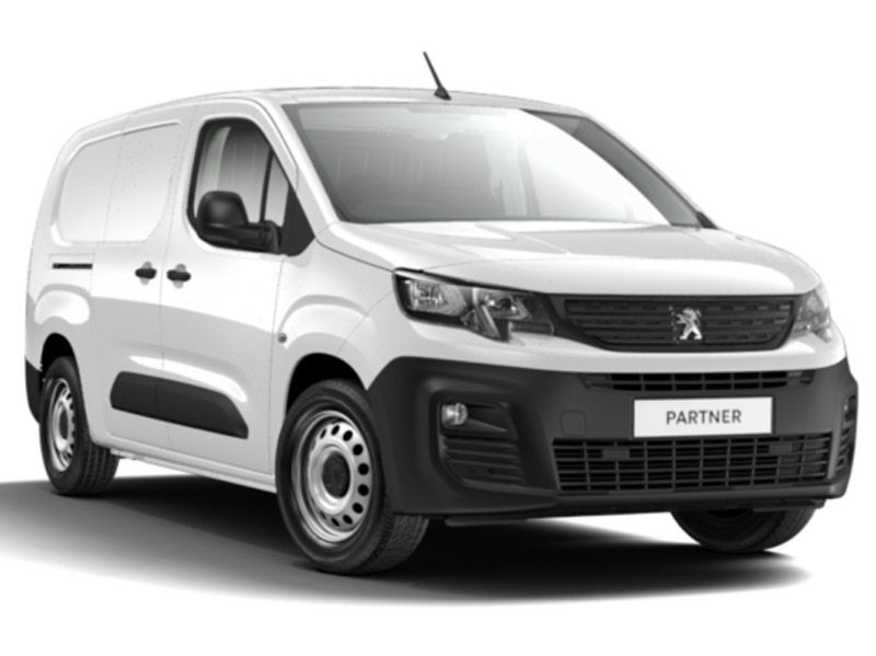
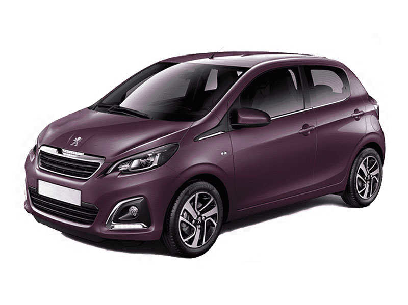
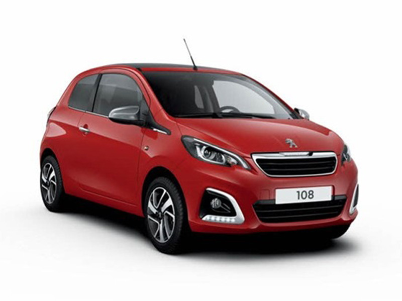
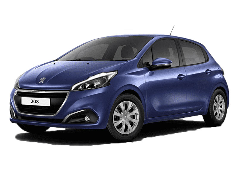
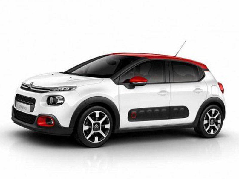
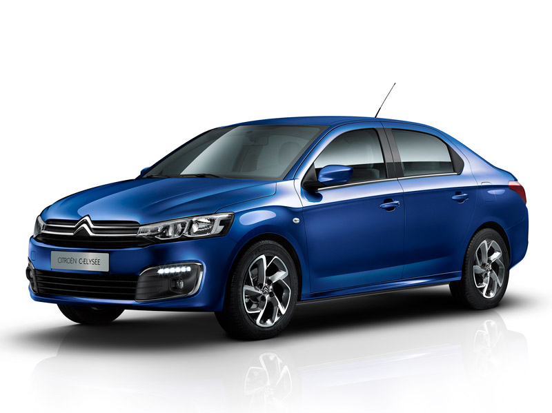
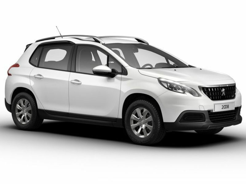
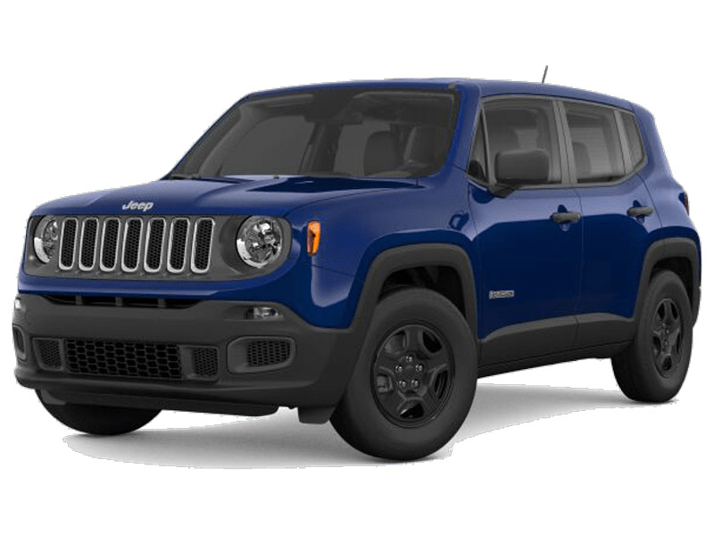
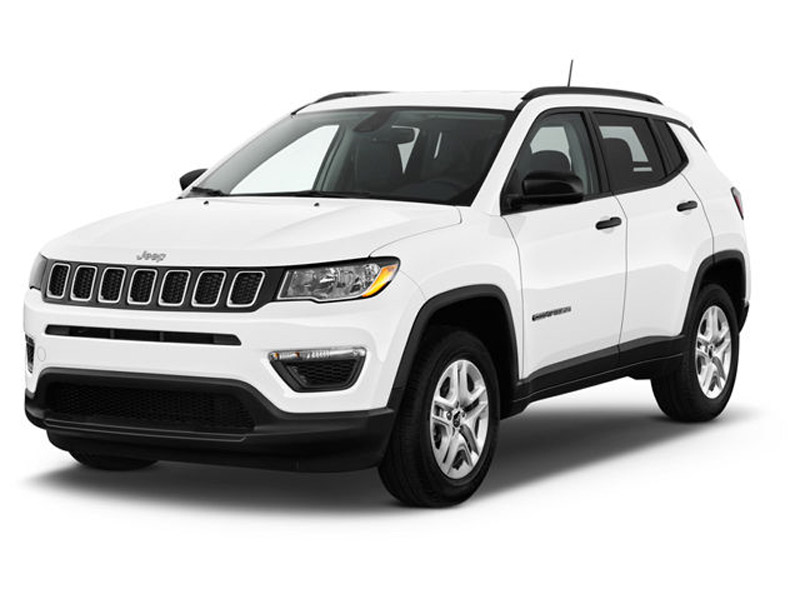
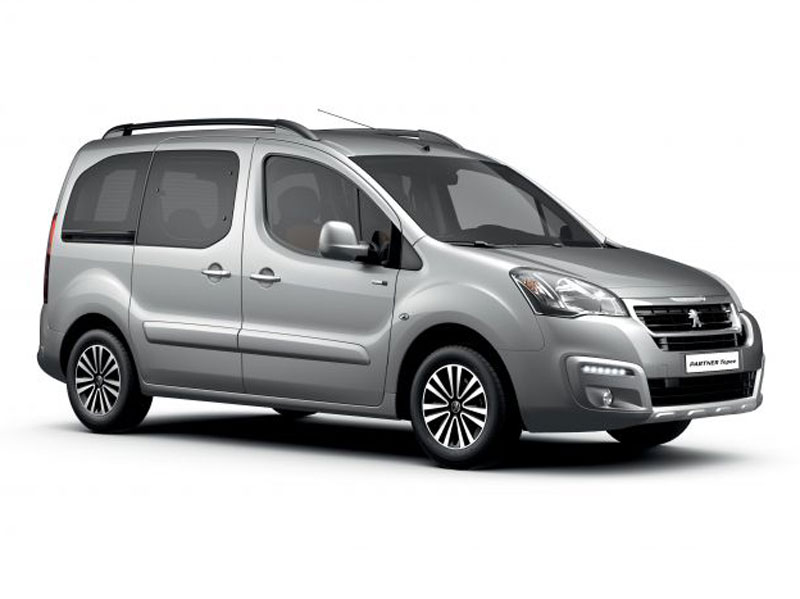
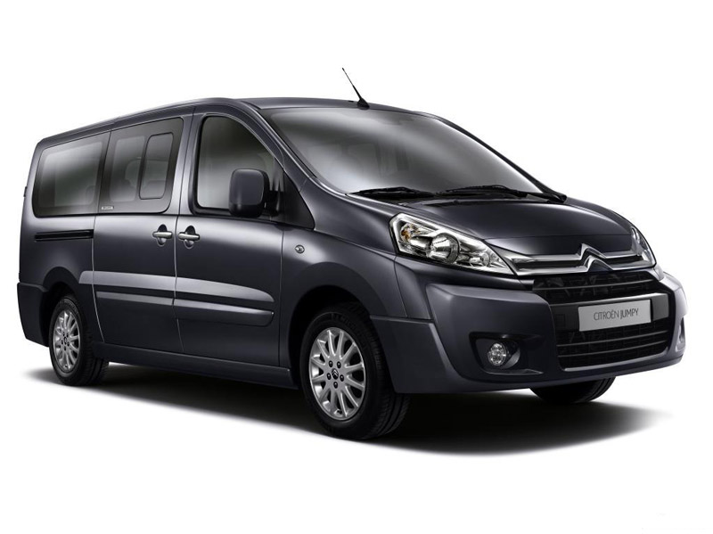
See Our Top Model Cars in Crete

Lisa Clubb
Review
star star star star star
Brilliant Car Hire. The best we have ever experienced. So easy to use and starts the holiday stress free. really helpful, very competitive and a great service. Thank you Best Cars View More Google Reviews
Ryan May
Review
star star star star star
Best rental car experience I’ve ever had. Phenomenal customer service, vehicles in great shape, and even provided car seats for our young children. English-speaking was a plus, as was the insider tips for Crete. Wonderful experience!View More Google Reviews

Rich Lomas
Review
star star star star star
I can’t recommend Best Cars Rental highly enough. The booking process was smooth, straightforward and professional. The pick up was smooth and efficient and the staff were really helpful. It’s a nice change not to have to swipe a credit card for insurance purposes. We were given a Citroen C3 aircross, which was clean and in great condition. The handback was as smooth and straightforward as the pick up. Would highly recommend them to anyone.View More Google Reviews

Alan Parry
Review
star star star star star
An excellent hire car service. By sorting all the paperwork in advance both pick up and drop off were easy and completely stress free. A rare find. Would thoroughly recommend.View More Google Reviews

Sandra Segulja
Review
star star star star star
Excellent car rental service! Reliable, professional and providing new cars. Thank you for the great Crete experience:)View More Google Reviews

Ramesh Bhimjiyani
Review
star star star star star
Very friendly staff. Collection and drop off was very smooth. Very willing to help. Would certainly recommend to others.View More Google Reviews